Around ICELAND (2)
 |
 |
 |
||||
|
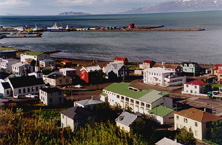
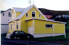
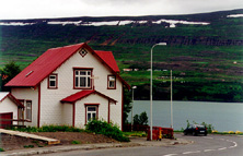
 | Saudarkrokur (pop 2700), at the bottom of Skagafjordur.
In the left picture, the islands of Malmey (right) and Drangey can be seen at background. | ||||
 |
 |
 |
||||
| Saudarkrokur | ||||||
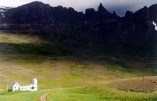 |
The pinnacle of Hraundragi (1075 mts) is drawn tenebrous between the valleys of Oxnadalur and Horgardalur.
The legend says that ,in its top, of only 0.5 m2 of surface, a treasure waits to the first (wo)man who climbs it. | |||||
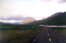 |
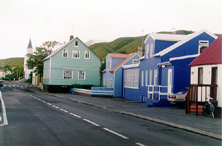
In the way to Akureyri, the Ring Road 1 is well paved and conserved, although it isn't very wide. | |||||
 |
 |
 | ||||
|
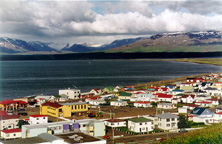
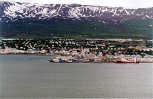
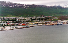
Akureyri (pop 15100), capital of the North of Iceland.
It's a fishing and commercial center, as well as of services.
It also hosts the second University of the country. Warmed up entirely by geotermal water of the area of Laugaland, in the Eyjafjördur.
| ||||||
 |
 |
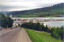
Akureyri.
| ||||
 |
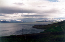 |
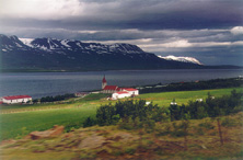
The fiord of Eyjafjördur, surrounded by high mountains, seems not to have any exit. Church of Svalbard, in the right border of the fiord. The road to Grenivik. |
| |||
|
|
|
|
||||